
You can see a map of the public rights of way in our Parish below.
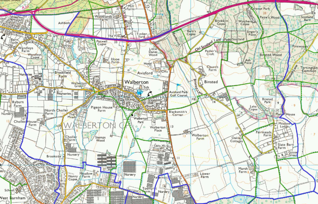
Date created: 12-10-2015 | Map Centre (Easting/Northing): 497540 / 105923 | Scale: 1:17019 | © Crown copyright and database right. All rights reserved (100053294) 2015 © Contains Ordnance Survey Data: Crown copyright and database right 2015
If you would like to see Public Rights of Way in other areas of Sussex please go to the WSCC website by clicking here.